")
")

RoadKill e MapRisk
- Details

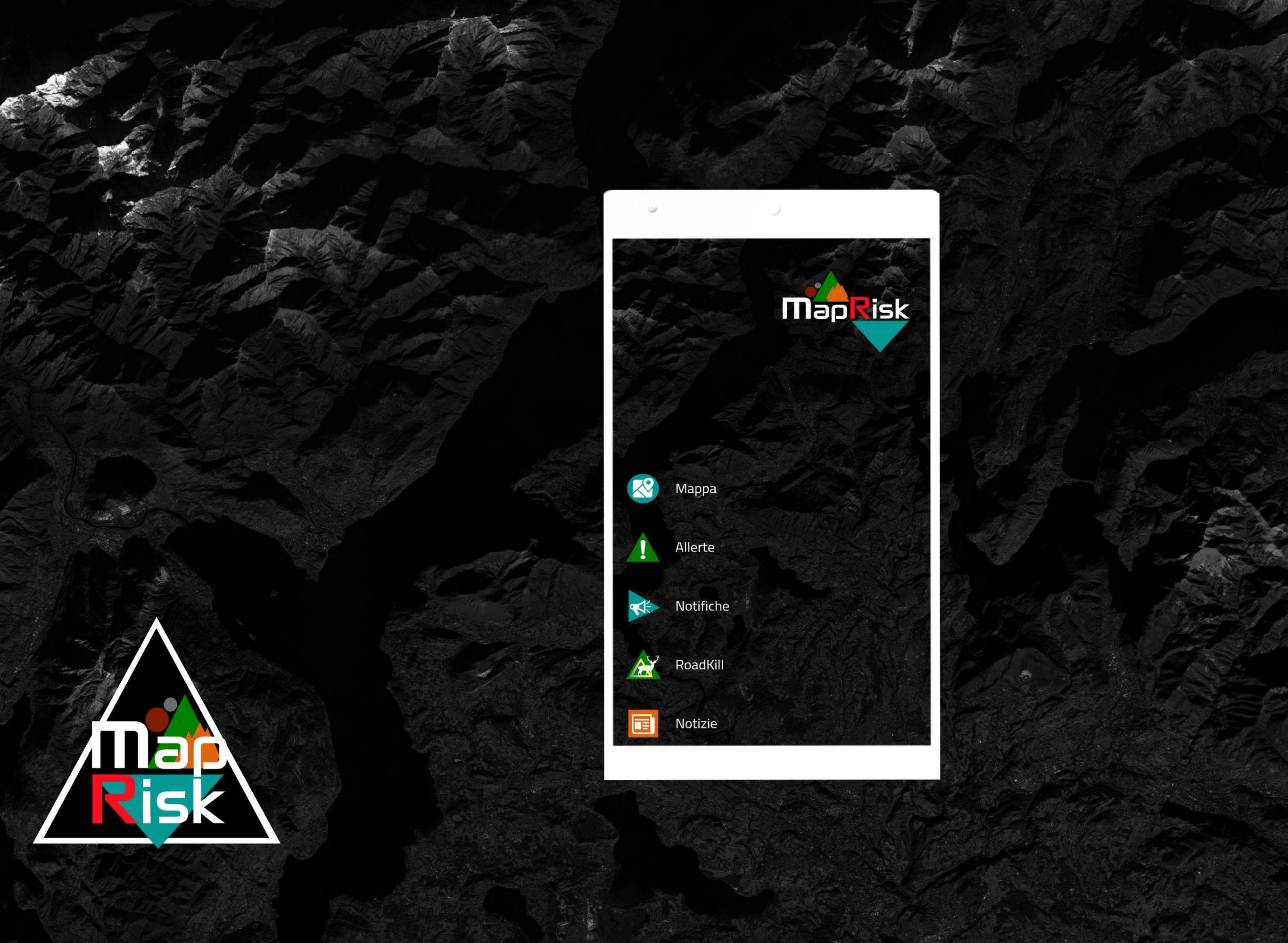
MapRisk Valli del Verbano, l'app di Mapland dedicata al Servizio Associato di Protezione Civile, presente su google e apple store, incorporerà al suo interno una nuova sezione dedicata al Progetto Comunitario denominato "RoadKill": la sicurezza è un diritto di tutti. In particolare la sezione MapRisk comprenderà sistemi di mappatura interattiva, dedicati agli utenti, degli avvistamenti-incidenti coinvolgenti animali selvatici.
AppMap
- Details
Nasce AppMap, sistema di MapLand, finalizzato alla progettazione, pubblicazione e gestione di App, dedicate in particolare alle Strutture, Enti, Organizzazioni ed Imprese che gestiscono il territorio.
Vuoi creare un’App per il tuo Comune, la tua Associazione, il tuo Ente, la tua Attività?
Cerchi un'app dedicata e personalizzabile a seconda delle tue esigenze?
Una soluzione per tenere informati i tuoi utenti?
Un'app con mappe e funzionalità avanzate?
Flessibile e adatta a tutti i dispositivi?
Con sezioni ad accesso risevato?
Facilmente gestibile ed economicamente conveniente?
...Allora cerchi AppMap by MapLand ...le App complete con Mappe avanzate...
![]()
MapRisk Valli del Verbano
- Details
Verrà rilasciata in questi giorni sugli Store ufficiali: Play Store ed Apple Store, per i dispositivi Android e IOS, la prima versione ufficiale di MapRisk, dedicata al Servizio Associato di Protezione Civile delle Valli del Verbano.
Frutto del lavoro degli ultimi mesi, questa app dedicata , è in grado di offrire uno strumento innovativo per la gestione della Funzione di protezione civile alle strutture preposte.
MapRisk Valli del Verbano
- Details
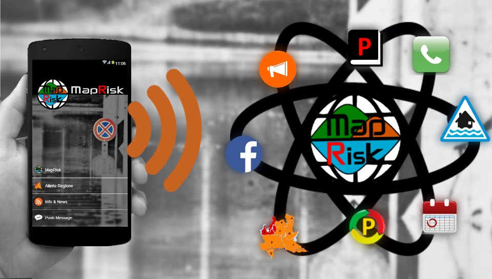
Disponibile sugli Store: Google Play e Apple Store la prima versione di MapRisk app dedicata al Servizio Associato di Protezione Civile delle Valli del Verbano. L'app è destinata ai cittadini ed alle Strutture di Protezione Civile ed è installabile su smartphone, tablet e leggibile anche su pc Desktop. App con funzioni avanzate di webmapping dedicata agli operatori. Tra le novità, tracking dei dispositivi in tempo reale, disegno ed editing da remoto per la gestione degli eventi ed il monitoraggio del territorio.
MapLand for Expo
- Details

MapLand for Expo is born ! a WebMap built to promote the territory of the Varese Land, for the EXPO2015 event: Accomodations, Museums and Cultural Heritage, Natural Sources, Sports, Info Points, Transports, these are some of the points of interest that enrich WebMap.
An Interactive map in continuous development thanks to the inclusion of new points of interest and social photos via Instagram.
MapLand for Expo is entirely made through OpenSource solutions, OpenStreetMap e OpenData and leverages the experience of Mapland in delivering spatial information using modern, mobile devices.
Are you a photographer Instagram and want to contribute to promoting and enhancing the area? Just add your photos hashtag #maplandforexpo, your photos will be uploaded automatically on the Map.
© 2026 Mapland