")
")

DTM - Digital Terrain Model
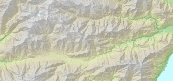
Digital terrain models to highlight and analyze the topography of the land and produce quality maps.
Geodatabase and GIS
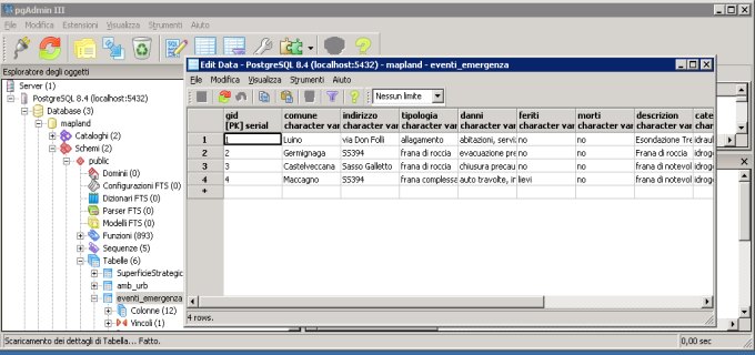
Organize spatial information through structured systems that allow for easier storage, distribution and management over time of all the spatial information (networks, points, facilities, spaces, areas, levels, etc.).
WebGis
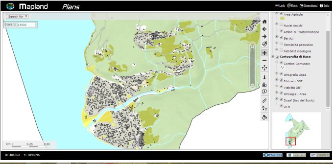
WebGis and GIS project and implementation for the management and representation of spatial data to support the multilevel planning:
Spatial Analysis
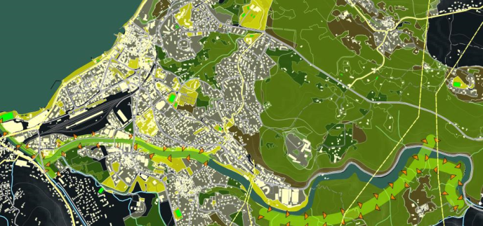
Spatial analysis throught GIS software and instruments
© 2026 Mapland